 Source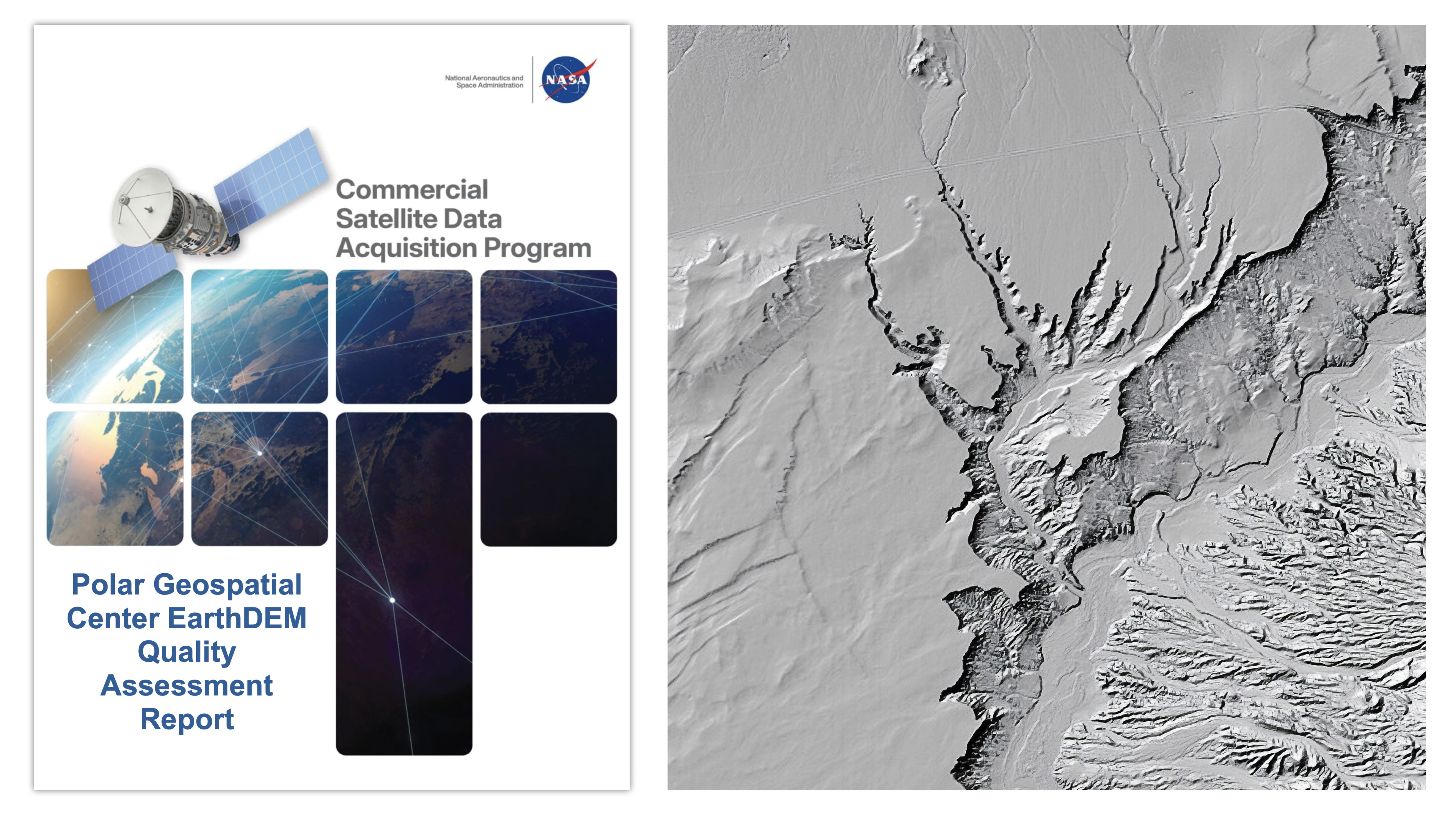
Quality Assessment Report Evaluates Polar Geospatial Center EarthDEM Elevation Products
NASA’s Commercial Satellite Data Acquisition program released a report evaluating the accuracy of Polar Geospatial Center’s EarthDEM elevation products. This assessment determines if these digital elevation models are suitable for use in NASA science research.
Why it matters
The results allow scientists to determine if this data meets their specific accuracy needs, offering a potentially cost-effective way to augment Earth observations.
The details
- Horizontal accuracy was graded 'Excellent' for Mosaic Tile and Strip products.
- Vertical accuracy was graded 'Basic' as it exceeded PGC's 0.5-meter specification.
- Evaluations used airborne lidar data samples from the United States and Senegal.
Show entities and relationshipsHide entities and relationships
In this article
Organizations
Countries
Technologies
Companies
Key connections
Polar Geospatial Center owns EarthDEM
Polar Geospatial Center produces and maintains the EarthDEM digital elevation dataset.
Polar Geospatial Center owns EarthDEM Strip DSM
Polar Geospatial Center produces the EarthDEM Strip DSM product.
Polar Geospatial Center owns EarthDEM Mosaic Tile
Polar Geospatial Center produces the EarthDEM Mosaic Tile product.
Vantor owns Vantor Optical Satellite Fleet
Vantor owns and operates a fleet of optical satellites.
NASA leads Commercial Satellite Data Acquisition Program
Commercial Satellite Data Acquisition Program is managed under NASA's Earth Science Division.
NASA Earth science research utilizes EarthDEM data.
Show 10 more connectionsShow fewer connections
EarthDEM is built with Vantor Optical Satellite Fleet
EarthDEM is derived from imagery collected by Vantor's optical satellite fleet.
EarthDEM is built with Digital Elevation Modeling
EarthDEM is created using digital elevation modeling techniques.
Commercial Satellite Data Acquisition Program uses Airborne Lidar
CSDA evaluated EarthDEM products by comparing them to airborne lidar data samples.
Commercial Satellite Data Acquisition Program is a partner of Polar Geospatial Center
CSDA program evaluates elevation products developed by Polar Geospatial Center.
Byrd Polar and Climate Research Center is a member of The Ohio State University
Byrd Polar and Climate Research Center is a research center at The Ohio State University.
Byrd Polar and Climate Research Center is related to EarthDEM
Researchers at Byrd Polar and Climate Research Center authored publications documenting EarthDEM.
EarthDEM Strip DSM is related to EarthDEM
Strip DSM is a product variant within the EarthDEM dataset.
EarthDEM Mosaic Tile is related to EarthDEM
Mosaic Tile is a product variant within the EarthDEM dataset.
The Ohio State University is located in United States
The Ohio State University is located in the United States.
Commercial Satellite Data Acquisition Program is related to Senegal
CSDA evaluated EarthDEM accuracy using airborne lidar samples from Senegal.
Related events
CSDA Program Issues EarthDEM Quality Assessment Report
Get the weekly recap
The stories like this one, picked and explained — once a week, straight to your inbox.